Mar 17: Recently the Cabinet has approved a mission mode programme “Deep Ocean Mission” to be implemented by the Ministry of Earth Sciences, Govt. of India. One of the objectives of this Mission, among other things, is to provide projections of sea-level rise along the coast of India under the various climate change scenarios. As an outcome of this project, a suite of interactive GIS maps identifying vulnerable areas and possible inundation scenarios will be prepared.
INCOIS, an autonomous institute of MoES has acquired the baseline Airborne Lidar Terrain Mapping (ALTM) elevation data from National Remote Sensing Centre (NRSC), under ISRO for the Tsunami Inundation modelling and vulnerability mapping. This data is available for the mainland Indian coast up to two kilometres from the coast and would be used for predicting the sea-level rise.
As part of the Indian Tsunami Early Warning System, INCOIS has established a real-time network of 36 tide gauges at different locations along the Indian coast to monitor the tsunami waves and provide timely advisories. It has established 4 tide gauges in Andhra Pradesh at the below locations.
| S.No. | Station Name | Latitude (°N) | Longitude (°E) |
| 1 | Visakhapatnam | 17.683 | 83.283 |
| 2 | Kakinada | 16.933 | 82.25 |
| 3 | Machilipatnam | 16.145 | 81.178 |
| 4 | Krishnapatnam | 14.25 | 80.133 |
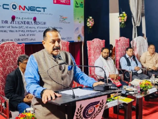
This information was given by the Minister of State (I/C) for M/o Earth Sciences and M/o Science & Technology, Dr Jitendra Singh in a written reply in Lok Sabha today.
******
Disclaimer: We donot claim that the images used as part of the news published are always owned by us. From time to time, we use images sourced as part of news or any related images or representations. Kindly take a look at our image usage policy on how we select the image that are used as part of the news.